As the Army has grown increasingly reliant on GPS, that system has increasingly become the target of enemy intervention.
GPS can fail due to turbulent weather, bad communications links or enemy attack. The Army is concerned about how troops on patrol can continue to function without GPS, and it is pursuing a range of initiatives to bolster wayfinding for those cut off from the usual means of guidance.
One effort involves the development of vision-aided navigation technologies. “We are using camera technology and electro-optic imaging sensors and applying them from a navigational perspective,” said Gary Katulka, a lead engineer for vision-aided tech in the Communications-Electronics Research, Development and Engineering Center‘s Command, Power and Integration Directorate’s Positioning, Navigation and Timing Division, or CP&ID PNTD.
The PNT team is working on systems that combine cameras with inertial measurement units, or IMU, which are made of sensors such as gyroscopes and accelerometers. By joining this sensor data to a camera’s visual feedback, a soldier would be able to navigate effectively, even without GPS.
RELATED

The combination is needed in order to overcome the limitations of IMU information, which tends to lose accuracy over time due to a phenomenon known as inertial drift. By correlating IMU against a visual inspection of the landscape, “it allows us to get another read on our orientation and position, so we can stop that inertial drift,” said Eric Bickford, an engineer in CP&ID PNTD.
The Army’s model for a vision-aided system would include a camera to register landscape features: It’s a way to see corners, or to discern changes in color. But a camera would not register depth; it wouldn’t necessarily be able to tell how far away a feature is from the user. The IMU would add that needed layer of information.
“The algorithm would basically keep track of all the information from the camera. It would do a computation based on the physical measurements and determine a navigation solution for that individual or that vehicle,” Katulka said.
While the team claims some successes in testing possible vision-aided solutions, the effort is still in the early development phase. CERDEC plans to eventually transition vision-aided PNT to the Army’s Direct Reporting Program Manager, Positioning, Navigation and Timing, which was chartered in 2015 to address PNT capabilities across the service.
RELATED

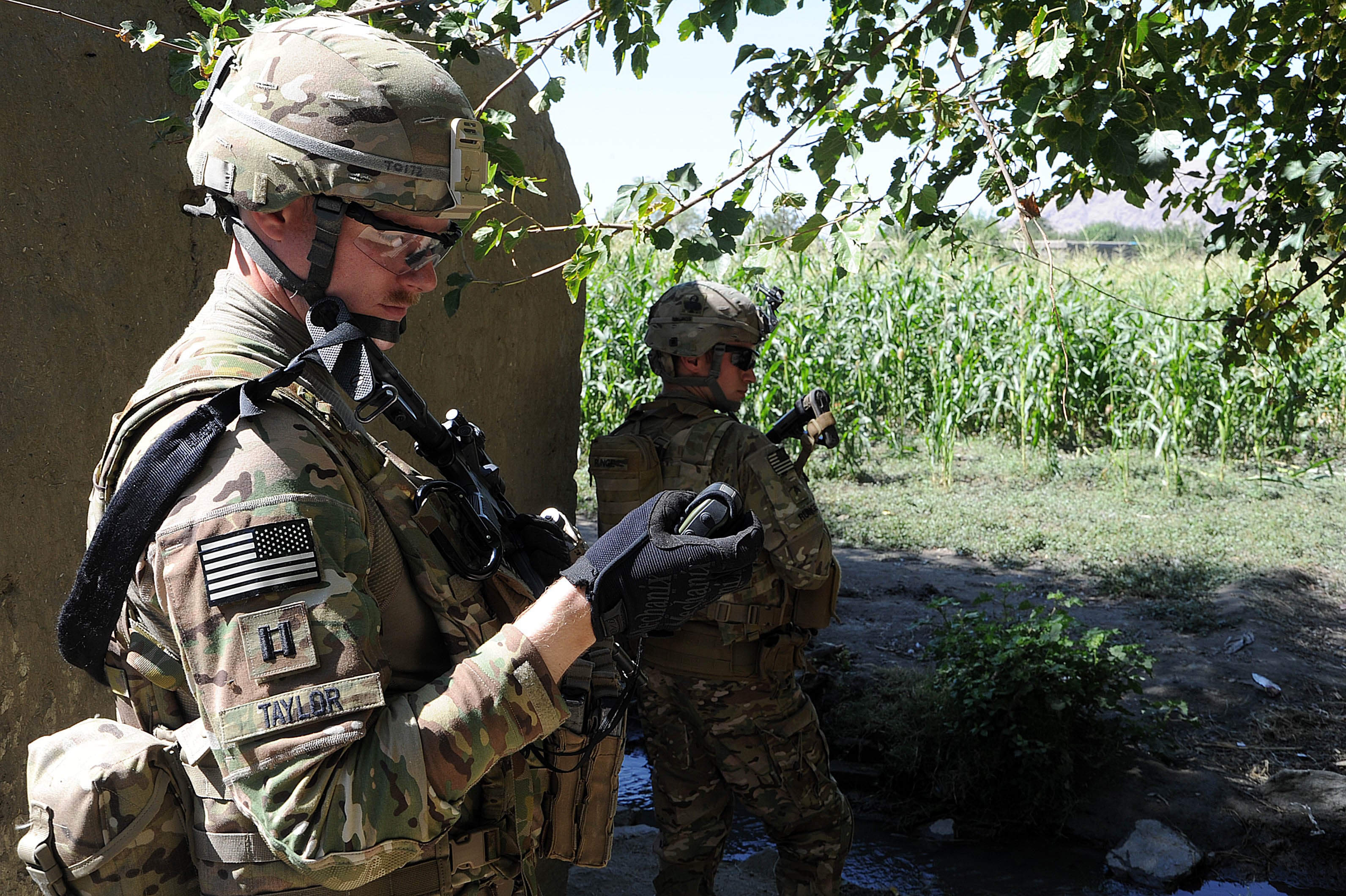
CP&ID planners also are teaming with other Army elements pursuing similar issues. They’re working with the Night Vision and Electronic Sensors Directorate, for example, to bring vision-aided solutions to bear in low-light circumstances. They say such devices could eventually be deployed in a soldier-wearable form.
To get there, they will have to overcome significant computing challenges. Getting a visual read on a landscape is easy. Turning that basic view into usable intelligence is another matter.
“A human can easily look through a pair of binoculars and pick out a feature on the scene and compare that to a map,” said Adam Schofield, the chief at CERDEC‘s Emerging Technologies Branch (Open Architecture).
“But this is a computing system, and it requires algorithm,” he said. “To run a picture through an algorithm and compare it to key points ― the key points that the computer finds interesting are not necessarily those that you would find interesting. There are different algorithms to determine what is a key point, different algorithms for matching the key points from frame to frame as lighting conditions change. It takes a lot of planning and a lot of debugging.”
In addition to software issues, developers also are looking at form factor, considering everything from hand-held to aircraft-mounted systems.
There is a certain urgency to the work, given the increased reliance on GPS and adversaries’ growing propensity to try and deny that asset.
“This is a hot area,” said Paul Olson, PNT chief engineer. “There is hostile interference, and it is growing. We see it is Southeast Asia, we see it in Africa and in the Middle East. We’re also looking to take soldiers into areas where GPS doesn’t work: subterranean spaces, dense urban environments.”
All these factors combine to make vision-aided navigation a top priority for PNT.


